SSR Now Offers Planning Services
Transportation Planning
Transportation planning plays a fundamental role in shaping a state, region, or community’s vision for its future. The overall goal is to devise a plan which incorporates safety, efficient energy use, reduced pollution, and considers alternative modes of transport that will enhance efficiency. These plans can incorporate streetscapes, traffic calming measures, new road networks, road diets and widening, access management, traffic signalization, and ROW dedication to deliver the best solution for the unique situation at hand. Our team of experienced transportation planners examine the prediction of usage demands to cater to that demand. This planning is essential in shaping cities, enabling economic development, promoting community interaction, and enhancing the quality of life for community residents.
Our collaborative process involves gathering input from all users including various government agencies, the public at large, private businesses, and environmental organizations to create a comprehensive, multimodal approach to the safe, efficient, comfortable, convenient, economical, and environmentally friendly movement of people and goods to destinations.
Deliverables / Scope of Work
- Transportation Plans
- Transit Studies
- Sidewalk Plans
- Mobility Studies
Urban Planning
At its core, urban planning is how we shape cities, towns, and communities to provide a better future where people can thrive! Whether improving an existing community or creating a new one, urban planning deals with the structuring and appropriation of urban space. It considers numerous elements — demographics, cultural drivers, the natural environment, and the aspirations of the community’s shared vision — to point out what measures should be taken to improve the quality of life of the inhabitants, including matters such as natural, built, social, cultural, transit, and business environments.
As part of the urban planning process problems arising from urbanization are considered, including pollution, traffic congestion, urban voids, and ecological impacts, making it essential that much is discussed about the future of cities and the aspirations of sustainability and mobility as a way of fighting climate change. Urban planning is a multidisciplinary activity that requires input from local governments, utilities, private companies, community organizations, and others that provides clients with a platform to inform policy planning and decision-making.
Services / Scope of Work
- Comprehensive Planning: SSR’s comprehensive urban planning efforts are vital to maintaining thoughtful development for communities and municipalities experiencing significant growth. Our team brings expertise, experience, and proximity to successfully create and execute a plan that preserves the character of the community while maximizing development potential. Whether creating a new comprehensive master plan / development plan or updating an existing one, SSR has the in-house resources to complete these for a range of project sizes, from large municipalities to defined development areas.
- On Call Contracts: Engaging SSR in an on-call urban planning contract allows us to operate as an extension of your staff – your go to resource for all things city planning. Our talented team can service as your city planner, reviewing monthly development applications, re-zoning requests, and performing subdivision reviews as well as handle administrative tasks such as writing agendas and running the planning department meetings.
- Zoning Updates: Sometimes a parcel of land will require changes to the land use or zoning designation due to potential development, changes in the area over time, or other reasons. SSR can assist in redoing zoning ordinances or issuing an amendment to the entire zoning document.
On-Call Consulting
SSR provides on-call planning consulting for several municipalities in Tennessee including Pleasant View, Newbern, and Dyersburg. This includes coordinating development applications between development professionals and city staff, writing staff reports, and giving presentations at Government meetings. We manage site plan submittals, rezoning and annexation requests, subdivision applications, and handle all items for the Board of Zoning Appeals.
Project Spotlight: Dyersburg
SSR is providing urban planning services for the City of Dyersburg, specifically tasked with creating an updated comprehensive plan for the growing municipality. This includes zoning ordinance updates and a new subdivision regulation. SSR and the City of Dyersburg have over a decade of collaboration including reviews for site grading, site layout, retaining walls, roadway layout, stormwater systems, erosion and sediment control, green infrastructure, and other projects.
SSR has successfully completed an existing Land Use Map and Future Land Use map for Dyersburg. These identify areas with potential land use changes and growth. We also successfully identified areas of the zoning ordinance that need updating. Acting as an extension of Dyersburg staff, SSR led community outreach efforts and hosted town hall meetings; we continue to review all development proposals, perform subdivision reviews, and vet rezoning requests well as write all the agendas, staff reports, and run public meetings for the Planning Commission and BZA.
Meet the Team
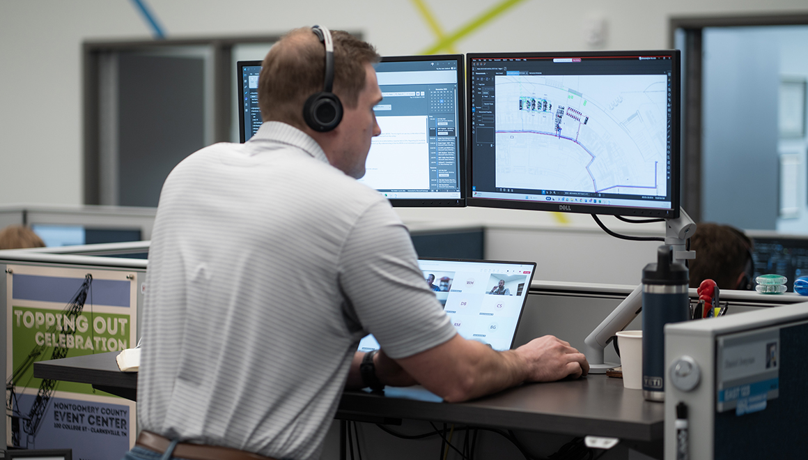
James Aker // GIS & Cartography
James is a strategic GIS Coordinator with technical experience disseminating imagery-based products and geospatial intelligence. His background includes work in both government and law enforcement markets. James specializes in advanced imagery and geospatial analysis and is adept in various software platforms including ArcGIS Pro, ArcMap, ArcScene, ArcGIS Online, ArcCatalog, ModelBuilder, Google Earth, Google OpenStreetMap, GPS Pathfinder Office, PCI Geomatica, ModelBuilder, Adobe Illustrator, and Python.
Nicholas Meek // Urban & Regional Planner
Nicholas is an urban and regional planner. His background includes work in data, research, and legislation. Nicholas has experience in multiple software platforms including ArcGIS Pro, ArcGIS Online, and Adobe Illustrator.
Interested in learning more? Reach out to info@ssr-inc.com.